Fill out the form with your application and requirements and we will find the right product for your needs or continue scrolling for the Product Catalog.


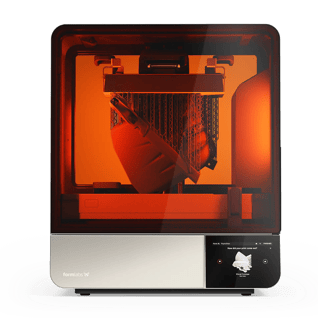
NEW FormLabs Form 4L - BIG Parts, Blazing Fast. Order Yours Today!


Agisoft Metashape is a cutting edge software solution, with its engine core driving photogrammetry to its ultimate limits, while the whole system is designed to deliver industry specific results relying on machine learning techniques for post-processing and analysis tasks.
The software allows to process images from RGB or multispectral cameras, including multi-camera systems, into dense point clouds, textured polygonal models, georeferenced true orthomosaics and DSMs/DTMs. Further postprocessing enables to eliminate shadows and texture artifacts from the models, calculate vegetation indices and extract information for farming equipment action maps, automatically classify dense point clouds, etc.
Based on the state-of-the-art technology developed by Agisoft, Metashape allows for very fast processing, providing at the same time highly accurate results both for aerial and close-range photography (up to 3cm for aerial, and up to 1mm for close-range photography).
Agisoft Metashape is capable of processing of 50 000+ photos across a local cluster, thanks to distributed processing functionality. Alternatively, the project can be easily sent to the cloud to minimize hardware investment, with all the processing options being still available.
The software package has a linear project-based workflow that is intuitive and can be easily mastered even by a non-specialist, while professional photogrammetrists can benefit from advanced features like stereo mode and have complete control over the results accuracy, with detailed report being generated at the end of processing.