 4 minute read
Understanding FARO Blink: What the Specifications Actually Mean
Product specifications are useful, but they rarely answer the question project teams actually ask:
What difference will this make on site?
Terms like 4mm accuracy, 80 metre range and 50-megapixel imagery sound impressive, but their value depends entirely on the job at hand. Capturing a congested plant room, documenting an accident scene or sharing progress with a remote engineer all place different demands on a laser scanner.
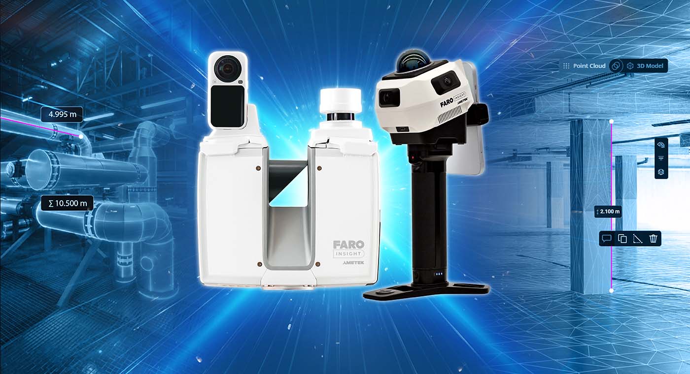
The FARO Blink Imaging Scanner is designed to make reality capture and site documentation accessible to more people, not just experienced laser scanning professionals. This article explains what its key specifications mean through practical examples from construction, facilities management and public safety.
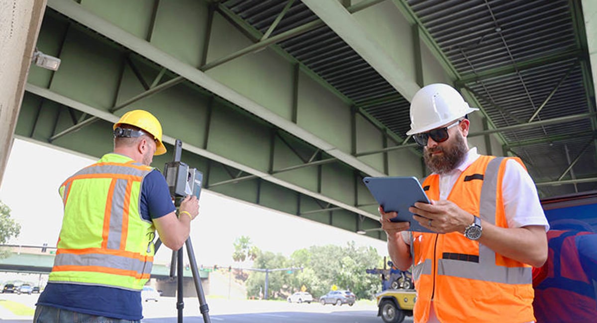
Why One-Button Operation Matters on a live construction site
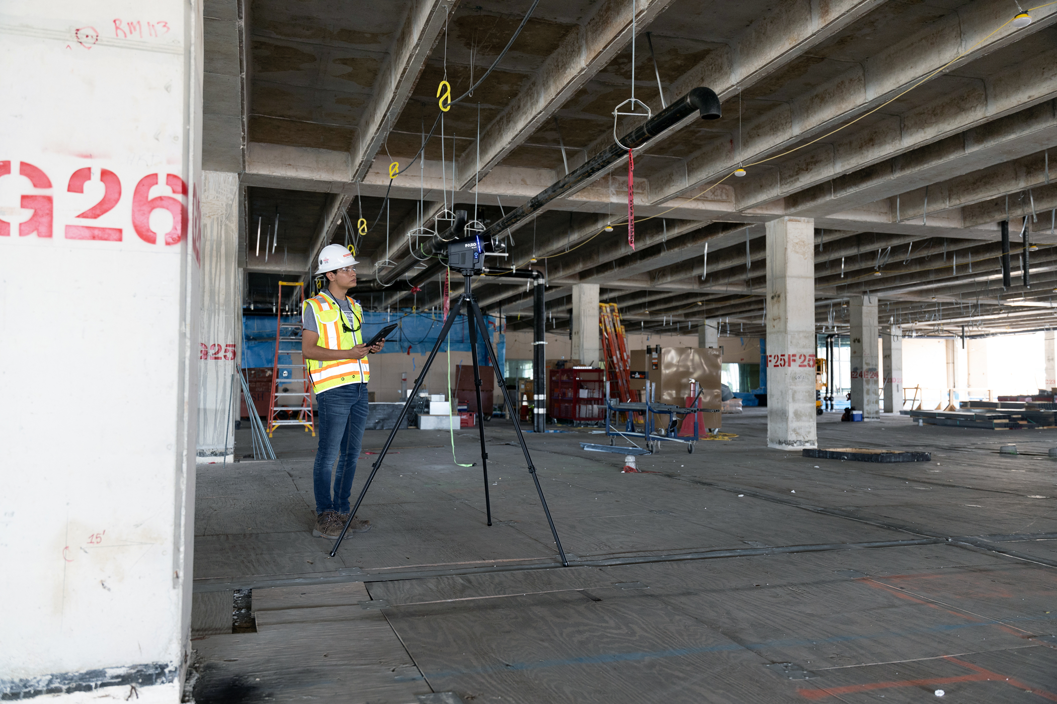
Case: A commercial fit-out is midway through construction across two floors of an office building. Ceiling services need to be documented before the suspended ceiling is installed the following day. The site supervisor has never operated a laser scanner before, and bringing in a specialist for a single capture isn't practical.
Many laser scanners require operators to understand scan positioning, overlap and registration. If something is missed, it's often not discovered until the data reaches the office - meaning another trip back to site.
The FARO Blink simplifies this process. A single button starts the scan, while built-in LED guidance indicates whether the next scan position will register correctly before the operator moves on.
Someone with little or no scanning experience can produce usable reality capture data on their first project.
Instead of relying on a specialist every time documentation is needed, project teams can capture existing conditions themselves, when the opportunity arises.
Why High-Resolution Imagery Changes Documentation
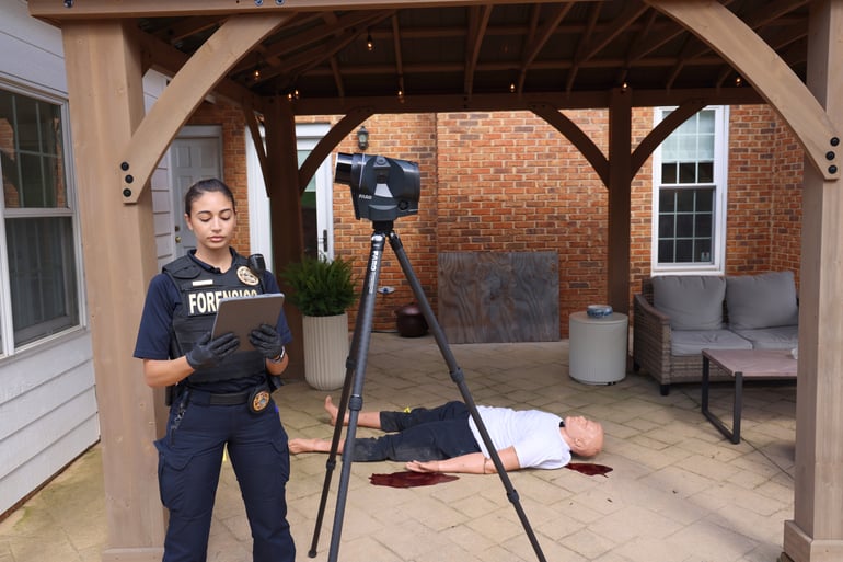
Case: Investigators arrive at the scene of a serious vehicle collision. Every vehicle position, skid mark and piece of debris must be documented before the road reopens. Months later, those records may be relied upon during an investigation or court proceeding.
Traditional photographs capture individual viewpoints but don't preserve the entire scene as a measurable record. Answering questions about distances, sightlines or spatial relationships later becomes much harder.
The FARO Blink captures 360° imagery at 50 megapixels alongside its 3D scan data, producing a detailed visual record that remains fully measurable long after the physical scene has disappeared.
Instead of reviewing isolated photographs, investigators can navigate the captured environment as it existed at the time of documentation, extracting measurements whenever required.
The same capability benefits many other industries:
- Public safety teams documenting crime, crash or fire scenes before they're cleared.
- Construction teams recording completed work before it's concealed by subsequent trades.
- Facility managers and insurance assessors preserving the condition of assets immediately after an incident.
Once the physical scene has changed, that information cannot be captured again. Preserving it accurately is what makes the imagery valuable.
When 4mm Accuracy Becomes Important
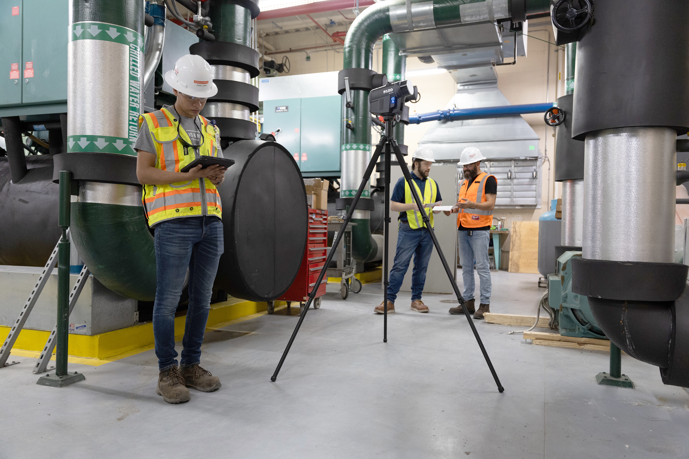
Case: A mechanical contractor is replacing an ageing chiller in a commercial plant room. The space is crowded with existing pipework, cable trays and structural elements that have evolved over decades. Before replacement equipment can be fabricated, the team needs confidence it will actually fit.
Plant rooms are rarely documented accurately. Services have been added, relocated and modified over many years, often without drawings being updated. Measuring clearances manually is time-consuming and still leaves room for error.
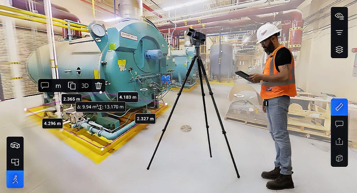
The FARO Blink delivers 4mm accuracy at 10 metres, providing sufficient precision to verify equipment clearances, pipe routing and structural positions directly from the captured data.
Instead of relying on incomplete legacy documentation, project teams can work from an accurate digital representation of existing conditions.
That confidence carries directly into BIM coordination and VDC workflows, where clash detection and fabrication decisions depend on the quality of the existing conditions model.
When an 80 Metre Range Saves Time
Case: A scanning provider has been engaged to document a large industrial warehouse before a new mezzanine is designed. The building stretches approximately 60 metres, with high racking, structural columns and overhead services throughout..
A shorter-range scanner would require more scan positions to capture the same space. Every additional setup adds time on site and increases the chance of registration errors.
With an 80 metre measurement range, the FARO Blink can capture large internal spaces, long corridors and building exteriors using fewer scan positions.
Fewer setups mean less time spent scanning, fewer registrations to manage and a more efficient workflow from capture through to delivery.
For organisations working across office refurbishments, industrial facilities and similar projects, the same scanner adapts without changing equipment.
From Site Capture to Shared Decisions, Removing One of the Biggest Bottlenecks
Case: A multi-storey commercial development reaches a critical construction milestone. The structural engineer is based interstate, while the project manager needs slab and column positions reviewed before work progresses to the next level.
Traditionally, laser scanning involves registering individual scans back in the office before anyone else can access the data. That processing requires specialist software and experienced operators, delaying access to the information.
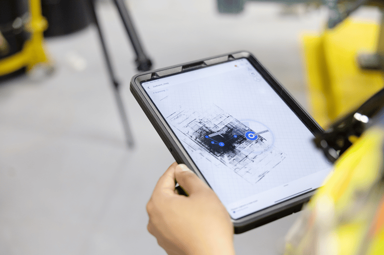
The FARO Blink simplifies this workflow using integrated SLAM technology, automatically aligning scans as the operator moves through the site.
Once uploaded to FARO Sphere XG, cloud processing creates a navigable model that can be accessed through a web browser without specialist software.
The FARO Stream App also allows operators to review captures while still on site, reducing the likelihood of returning to fill gaps.
Rather than waiting for scans to be processed back in the office, project teams can begin reviewing site conditions much sooner.
For example:
- A structural engineer can review site conditions remotely before approving construction.
- Clients and certifiers can inspect progress without another site visit.
- Project managers overseeing multiple projects can monitor current conditions from anywhere.
For organisations without dedicated scanning specialists, removing manual registration removes one of the biggest barriers to adopting reality capture as part of everyday project workflows
Where Does FARO Blink Fit?
Every reality capture project has different requirements, and no single scanner is the right choice for every application.
The FARO Blink is designed for organisations that value simplicity, speed and accessibility.
It's particularly well suited to documenting existing conditions, construction progress, facilities, public safety and building assets where fast, reliable capture is more important than survey-grade workflows.
Projects requiring survey-grade accuracy across large infrastructure sites or long-range topographic surveying may be better suited to other FARO solutions.
The right scanner isn't the one with the longest specification sheet. It's the one that best matches the way your team captures, shares and uses information
The Specification Matters Less Than the Decision It Enables
Every specification in a laser scanner exists because it solves a practical problem.
Some help teams document existing conditions with confidence. Others reduce time on site, simplify workflows or make accurate information easier to share across a project.
Viewed individually, they're just numbers on a specification sheet.
Together, they determine how confidently a team can plan, coordinate and make decisions long after the site itself has changed.
The FARO Blink is built to make reliable reality capture accessible to more organisations, on more projects, with less training and fewer technical barriers.
Ultimately, the value of a scanner isn't measured by the specifications it lists. It's measured by the confidence people have in the decisions they make because the right information was captured at the right time.
If you're assessing whether FARO Blink is the right fit for your workflow, the team at Synergy Group can help you evaluate where it delivers the most value.

 3 minute read