 5 minute read
The Cost of Going Back: When Infrastructure Survey Data Isn’t Enough
An infrastructure survey can be accurate and still leave a project short of the information it needs.
Maybe an area wasn’t captured. A structure needs more detail than expected. The design team needs context that wasn’t part of the original scope. Or a measurement needs to be checked after the survey team has already left site.
On an infrastructure project, filling that gap can involve much more than taking another measurement.
It can mean arranging access again, remobilising people and equipment, working around traffic or shutdown requirements, and holding up the people waiting on the information.
So when we talk about reliable survey data, accuracy is only part of it.
Reliable infrastructure survey data needs to be accurate, complete, current and usable by the people who rely on it next.
What Makes Infrastructure Survey Data Reliable?
Survey accuracy matters. But so does having the right information in the first place.
Reliable survey data comes down to four things:
| What it means in practice | |
| Accurate | The data meets the level of precision required for the application. |
| Complete | The necessary asset, site and surrounding context have been captured. |
| Current | The information reflects the site at the relevant stage of the project. |
| Usable | The data can be processed, shared and applied by the teams that need it. |
A measurement can be perfectly accurate and still not help if the project later needs something that was never captured.
That matters because survey data often has a life well beyond the field team. It may feed into design, engineering, construction, BIM, GIS or asset management long after the original survey is finished.
Where Does Survey Rework Come From?
A repeat site visit is often caused by a gap between what was captured and what the project later needs.
It isn’t always the result of a surveying mistake.
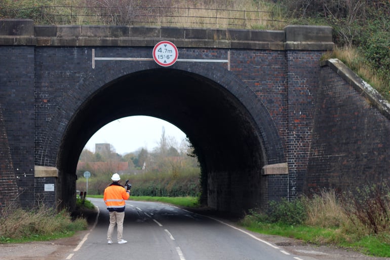
Take a corridor survey. The required data is collected, the fieldwork is complete and the project moves on. Later, the design team needs more detail around a culvert, bridge abutment or adjoining structure.
The extra measurement itself may only take a few minutes.
Getting a crew back there is another story.
There may be travel, access approvals, traffic control, site coordination and another mobilisation to organise.
That is how a small gap in the data can turn into a much bigger project issue.
The same thing can happen when a measurement needs further verification, another team needs more context than expected, or the site has changed by the time the question comes up.
Construction progresses. Equipment moves. Ground conditions change. Temporary structures disappear.
Sometimes, going back later simply won’t recreate the conditions that existed during the original survey.
Why Can a Return Visit Cost So Much?
The fieldwork is only one part of the cost.
Depending on the site, another visit may mean:
- remobilising survey crews and equipment
- regional or remote travel
- arranging access or inductions again
- coordinating with contractors or asset owners
- traffic or pedestrian management
- restricted access periods
- shutdowns or possession windows
- waiting for suitable site conditions
- delays to design or engineering work while the missing information is collected
The actual measurement may take minutes. Getting someone back into position to take it can be the expensive part.
That is why survey efficiency should not be measured only by how quickly the first site visit was completed.
A better measure is whether the team can leave site confident that they have captured what the project is likely to need.
Reducing the Risk of Going Back
No survey workflow can predict every future requirement.
But good planning, appropriate capture methods and a final check before leaving site can reduce avoidable return visits.
Start With What the Data Needs to Do
Before deciding how to capture the site, start with how the information will be used.
Is it supporting preliminary design, detailed engineering, an as-built record, corridor mapping, progress documentation or long-term asset information?
Those use cases can require very different levels of accuracy, detail and coverage.
Starting with the intended outcome makes it easier to decide what is worth capturing and what level of specification the project actually needs.
Capture Useful Context
Traditional surveying methods remain essential where specific points and controlled measurements are required.
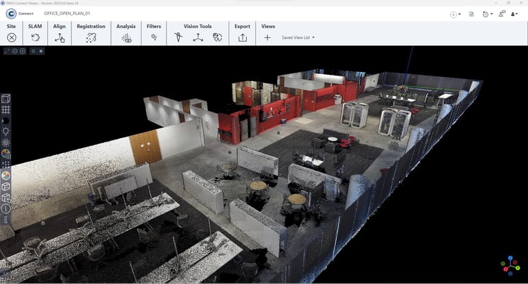
Reality capture complements those methods by recording more of the surrounding environment, including surfaces, structures and spatial relationships that can be reviewed later.
That broader context can be valuable when questions come up after the fieldwork is finished.
It doesn’t mean every project needs to capture everything.
It means making a practical judgement about what additional context is worth collecting while the team is already on site.
Check Before Leaving
Reviewing captured data before leaving site helps identify gaps while the crew and equipment are still there.
Are all the required areas covered?
Has anything important been obstructed?
Is there enough overlap?
Does a particular section need another scan?
Finding a problem on site is far easier than finding it several days later in the office.
Choosing the Right Capture Method
The right survey method depends on the required accuracy, site size, access conditions, capture speed and intended deliverable.
There isn’t one technology that suits every infrastructure project.
| Project requirement | Possible approach | Where it can help |
| Detailed structures and assets | Terrestrial laser scanning (TLS) | Detailed static capture where accuracy and coverage are priorities |
| Large sites and corridors | Mobile laser scanning (MLS) | Faster capture across larger environments while moving |
| Repeat documentation | Rapid reality capture workflows | Recording changing site conditions efficiently |
| Mixed project requirements | Hybrid workflows | Combining capture methods across different parts of the project |
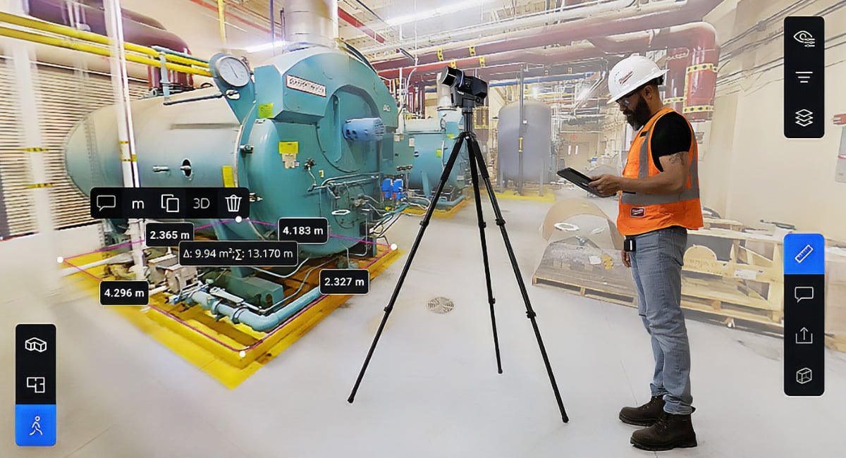
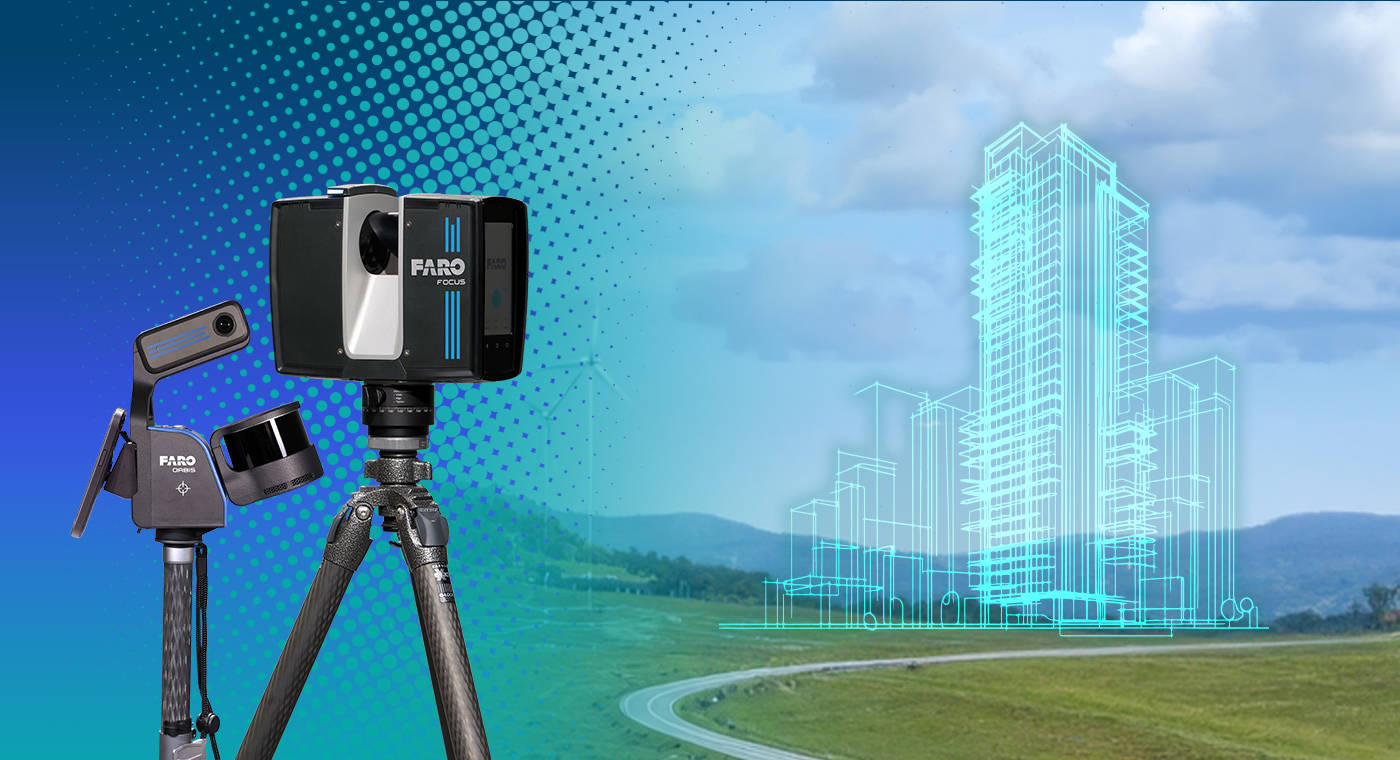
For detailed static capture, terrestrial laser scanners such as the FARO Focus are well suited to projects where high-resolution site information is required.
For larger environments or projects where speed and mobility matter, systems such as FARO Orbis provide a different approach to capture.
On more complex sites, the right answer may be a combination of methods rather than one instrument.
More technology isn’t always better. The right setup is the one that gives the project the accuracy and coverage it needs without making the workflow harder than it needs to be.
Does Every Project Need the Highest Possible Accuracy?
No. The required level of accuracy should match the intended use of the data.
Working to a higher specification than necessary can add capture time, processing and data-management overhead. Working below what the project needs can create limitations or rework later.
A few questions help frame that decision:
- What does the project need to know?
- How accurately does it need to know it?
- How much surrounding context is useful?
- How will the information be used after capture?
Those answers should shape the workflow.
Five Questions to Ask Before Leaving Site
Before packing up, it is worth checking:
1. Have we captured everything required for the current scope?
2. Is there enough surrounding context for likely downstream requirements?
3. Can we see any gaps or areas that should be checked now?
4. Will the data work for the teams and systems using it next?
5. If a question comes up later, is there enough information to answer it without returning to site?
Not every future requirement can be anticipated.
But a few extra checks while the team is still there are usually easier than arranging another visit.
Better Survey Data Is About Confidence
The value of a survey isn’t just in the accuracy of an individual point.
It is in whether the information gives the next person — a surveyor, engineer, designer, contractor or asset owner — enough confidence to make the next decision.
That means getting the right level of detail, enough context and information that can move cleanly into the next stage of the project.
Because on an infrastructure job, one of the most expensive pieces of survey data can be the one nobody realised they needed until the team had already left.
Talk to Synergy Group
Synergy Group works with surveying, engineering and infrastructure teams across Australia and New Zealand to match reality capture technology and workflows to different project requirements.
As FARO's Master Distributor across Australia, New Zealand, PNG and the Pacific Islands, alongside a broader geospatial portfolio that includes RIEGL solutions, Synergy supports teams with terrestrial and mobile laser scanning, equipment selection, workflow advice, training and technical support.
Whether you are expanding an existing surveying capability, reviewing a different capture workflow or need equipment for a specific project, talk to the Synergy team about what makes sense for the job.

 2 minute read