 3 minute read
A broader approach to reality capture: Focus i.1, Focus i.1 X and Rovi i.1

Reality capture is not one job.
A detailed existing-condition survey has very different requirements than a large outdoor scan, and both differ from documenting an active site every few days as work progresses.
The latest FARO INSIGHT releases reflect those differences.
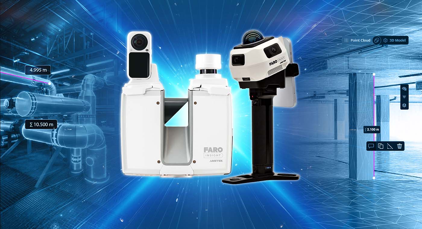
The new Focus i.1 and Focus i.1 X build on FARO’s terrestrial laser scanning platform for high-accuracy capture, while Rovi i.1 introduces a more mobile walk-and-scan approach for jobs where speed, repeatability and ease of deployment matter more.
Together, they give project teams more choice in how they capture a site — and how often they need to do it.
Focus i.1 and i.1 X: improving confidence in the field
For surveying, existing-condition capture, industrial facilities and construction verification, a good scan is not just about headline accuracy.
The operator also needs to know where each scan was taken, whether the right areas were captured, and whether the data can be registered and reviewed efficiently once the team leaves site.
The Focus i.1 and Focus i.1 X provide object accuracy of up to 0.9 mm, together with faster colour capture and updated positioning capabilities.
An included localizer tracks scanner positions as work progresses, helping maintain a clearer record of how the site has been captured. Flash technology also captures high-resolution colour data quickly, while the optional Insta360 X6 PanoCam adds richer visual context where useful.
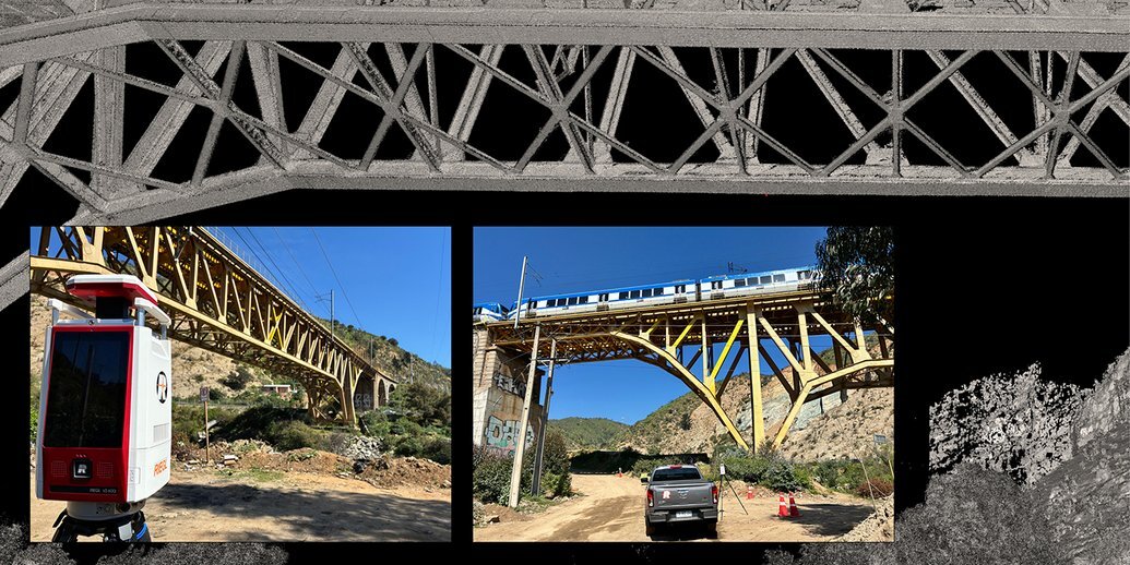
For larger outdoor work, the Focus i.1 X extends the same platform to a scanning range of up to 400 metres and adds GNSS/RTK capability for georeferencing.
That becomes particularly relevant on infrastructure, corridor, civil and large external survey work, where the captured data needs to sit correctly within a wider coordinate system.
In practice, the benefit is fewer unknowns in the field: where each scan was taken, whether coverage is complete, and how easily the data can move into registration and review.
Rovi i.1: making repeatable site capture easier
Rovi i.1 solves a different problem.
On many active projects, the challenge is not achieving the highest level of terrestrial scan accuracy at a single point in time. It is being able to capture the site quickly, check the result, and repeat the process as conditions change.
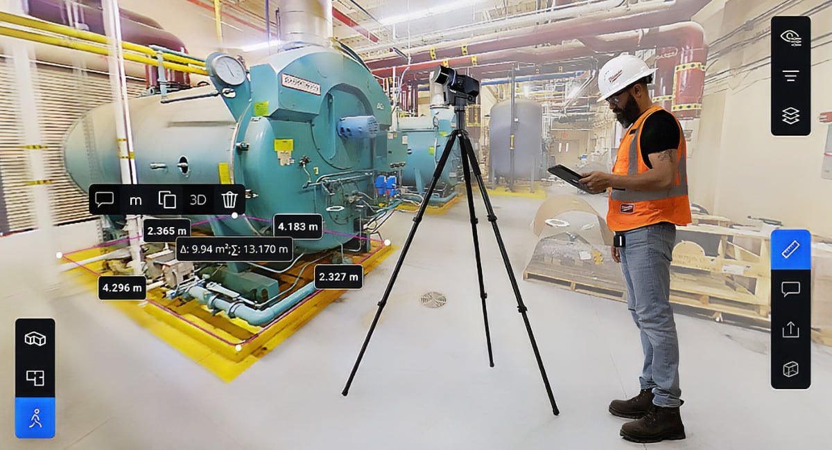
Rovi i.1 uses a walk-and-scan approach with hybrid visual and LiDAR SLAM, allowing an operator to move through the environment while capturing spatial data.
A real-time preview helps confirm coverage before leaving site, which is particularly useful when the cost of a missed area is another visit.
That makes it well suited to applications such as progress documentation, quality verification, recording existing conditions before work is concealed, and maintaining an ongoing digital record of a changing site.
The outputs also go beyond a conventional point cloud.
Data can be processed through Sphere XG and SCENE to support measurements, floorplans, volumetric analysis, as-built documentation and Gaussian splats, giving teams a highly visual way to review and communicate the captured environment.
Optional GNSS/RTK positioning, panoramic imagery and close-up photography can extend the workflow further where needed.
Where Focus and Rovi fit differently
The simplest way to think about the new releases is by the job they are being asked to do.
Focus i.1 is suited to detailed terrestrial capture where accuracy and confidence in the spatial record are critical.
Focus i.1 X extends that into larger outdoor and geospatial work where range and positioning become more important.
Rovi i.1 is aimed at jobs where teams need to walk the site, capture it quickly, check coverage before leaving, and repeat the process as conditions change.
On larger projects, those approaches may also overlap. A detailed terrestrial scan might establish the high-accuracy baseline, while more mobile capture is used between major survey stages to document progress or changing conditions.
The useful questions are therefore practical ones:
What needs to be captured?
How accurate does it need to be?
How large is the site?
How often will it need to be captured again?
Does the data need survey-grade positioning?
And what does the team need to do with the data once it has been captured?
Those answers are usually more useful than comparing scanners on specifications alone..
Explore FARO INSIGHT reality capture solutions
Synergy Group is a FARO Master Distributor across Australia, New Zealand and the Pacific.
Explore the FARO INSIGHT range to see which capture approach best fits your surveying, construction, documentation or project-verification requirements.

 5 minute read