 5 minute read
Beyond Terrestrial Laser Scanning: Where Mobile Capture Adds Value in Construction
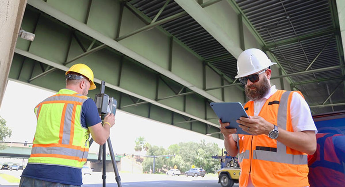
Terrestrial laser scanning is well established across construction projects, supporting existing-condition surveys, design coordination, dimensional verification and as-built documentation.
For surveyors, engineers and construction teams already using 3D scanning, the value of accurate spatial data is well understood. But the information required can change considerably throughout a project, even within the same physical space.
An initial survey may require controlled measurements and detailed point cloud data. Weeks later, the priority might be documenting newly installed services, reviewing equipment access or resolving a coordination question.
The difference is not simply how much data needs to be captured, but what decisions that data must support.
Mobile laser scanning offers another way to approach these requirements, complementing terrestrial scanning where a more accessible capture process can deliver the information needed.
Looking beyond the initial survey
During early design and planning, terrestrial laser scanning provides detailed geometric information to establish existing conditions, develop models and coordinate proposed works.
Once construction begins, the need for spatial information extends beyond formal surveying activities.
Project engineers may need to review newly installed services. Contractors may need to document areas before subsequent trades begin work. Design teams may need to understand modifications made on site, while project managers need current information to coordinate activities.
At Synergy Group, we work with surveying, engineering and construction businesses across Australia and New Zealand, helping teams evaluate reality capture technologies for different applications.
An important part of selecting a capture approach is understanding the intended deliverable. A controlled survey for dimensional verification has different requirements from a spatial record used to support planning or coordination.
For teams with established terrestrial scanning capabilities, this creates an opportunity to consider where mobile capture can take on appropriate supplementary tasks.
A practical example: Documenting building services during construction
Consider a multi-storey commercial building where mechanical, electrical and plumbing services are being installed.
Before installation begins, a terrestrial scanner such as the FARO Focus may be used to capture the existing structure and relevant site conditions. The resulting point cloud supports design coordination, modelling and verification against project requirements.
As construction progresses, ductwork, cable trays and pipework begin to occupy the available ceiling and services spaces. Installations are adjusted to accommodate structural elements, access requirements and work completed by other trades.
Now imagine the mechanical contractor has finished installation across part of a floor. Before the next stage begins, the project engineer needs to review the arrangement.
The engineer wants to understand how the installed services sit relative to the structure, whether equipment access appears obstructed and which areas may need further investigation.
Photographs and drawings provide useful records, but individual images do not always communicate the spatial relationships between multiple services, particularly in congested areas.
A mobile 3D scan can provide that additional context.
An operator moves through accessible sections of the floor, capturing the visible geometry of the installations and surrounding environment. The resulting spatial record allows the project engineer and design team to review the arrangement and identify potential issues.
For example, a cable tray may appear close to a ductwork access panel. The captured data can help the team understand the surrounding layout and identify where a clearance check is needed. If a specified dimension must be verified, the team can then use an appropriate measurement method.
In this situation, the mobile scan supports investigation and coordination. It does not need to perform every function of the original terrestrial survey to be useful.
The same area can therefore have different capture requirements at different stages of construction.
When does mobile laser scanning make sense on a construction project?
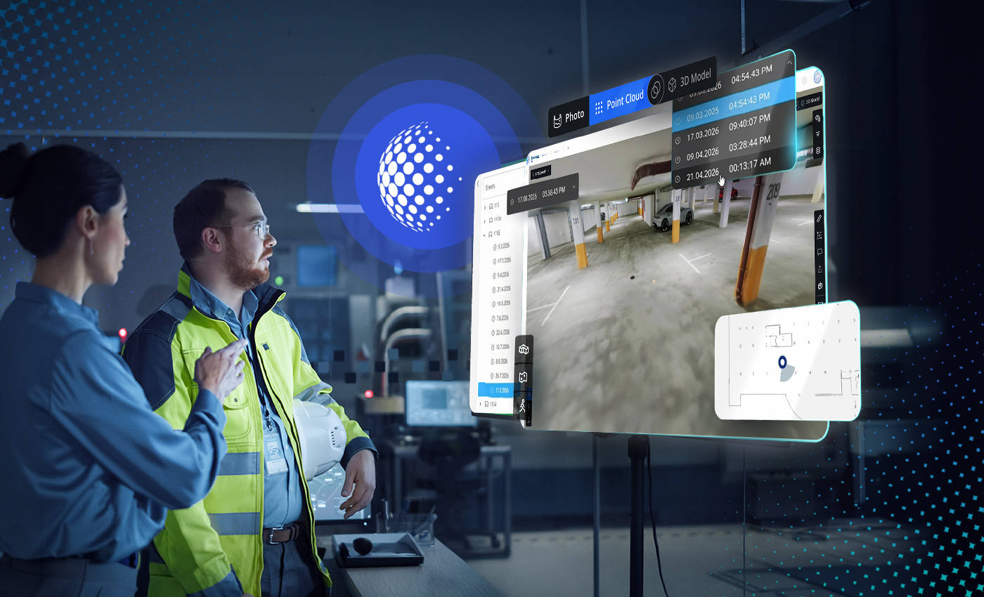
Mobile laser scanning is particularly useful for tasks requiring spatial documentation, site context or preliminary coordination, where its accuracy and output capabilities meet the project's requirements.
Beyond the building services example, several applications are worth considering.
- Supplementary site documentation: Capturing accessible areas after installations or modifications provides additional spatial records as construction progresses.
- Early investigation and planning: A mobile scan can help teams understand an area's layout, identify access constraints and determine where detailed survey work may be required.
- Site-to-office coordination: Shared 3D information gives engineers, designers and contractors a clearer reference when reviewing site arrangements remotely.
- Documentation before areas become inaccessible: Recording visible installations before ceilings, walls or finishes are completed can provide useful information for later project discussions and maintenance planning.
The common requirement is not necessarily greater scanning frequency. It is having the right information available for the task at hand.
FARO Rovi i.1: An accessible approach to mobile capture
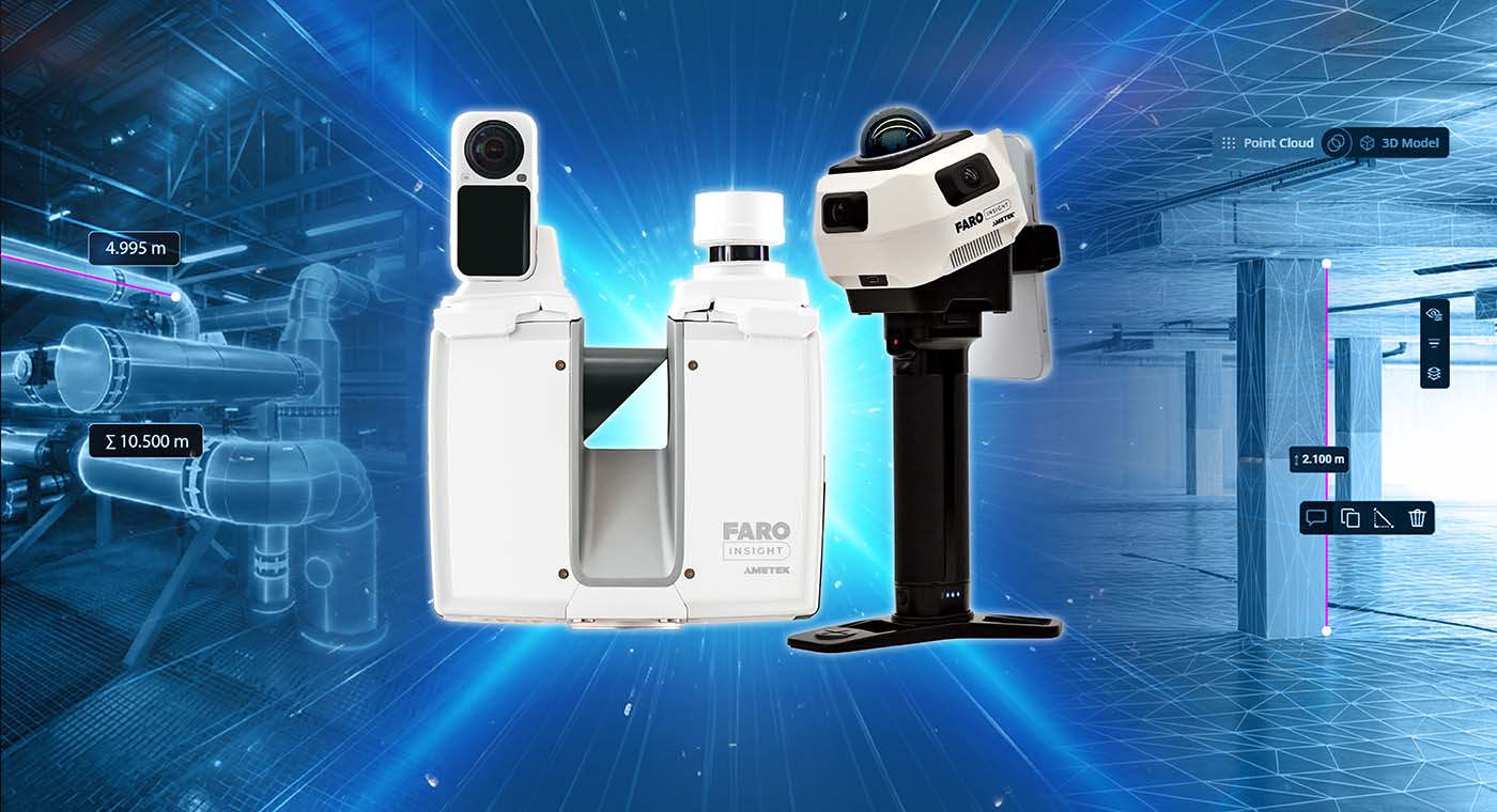
One example of this approach is FARO Rovi i.1, a mobile laser scanning solution designed to make measurable 3D documentation more accessible.
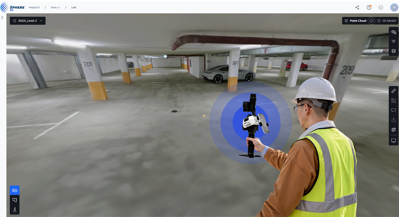
Unlike stationary terrestrial scanners, Rovi uses a walk-and-scan approach, collecting spatial information as the operator moves through an environment.
The system combines visual and LiDAR SLAM (Simultaneous Localisation and Mapping) technology with real-time preview capabilities, allowing operators to check capture coverage before leaving the site.
Rovi generates point cloud data at up to 200,000 points per second and is designed to support applications including existing-condition documentation, planning, progress review and measurable site records.
For construction businesses already using FARO Focus scanners, it introduces an additional capture option for tasks where the required accuracy and deliverables are compatible with a mobile workflow.
The distinction is important. A detailed survey may still require a controlled terrestrial scanning approach, while a supplementary record of a services area may be achievable using mobile capture.
From capture to usable project information
The value of reality capture depends on how effectively the information moves from the site to the people who need it.
FARO Rovi i.1 is offered as part of a package incorporating FARO Sphere XG and FARO SCENE.
Sphere XG provides cloud-based processing, project data management and access to captured information through a web browser. This allows supported reality capture data to be shared with stakeholders beyond the person operating the scanner.
SCENE provides desktop-based point cloud processing and analysis capabilities for more detailed work with reality capture information.
Returning to the building services example, a Rovi capture can be uploaded to Sphere XG for processing and made available to the project team for review. Where more detailed analysis is needed, the team can use the supported SCENE workflow.
For organisations already using terrestrial scanning, an important consideration is how mobile capture data will fit with existing survey records, design models and project coordinate systems.
Where datasets need to be compared or combined, the appropriate alignment and quality-control process must be established. This is particularly important when the resulting information will support dimensional decisions.
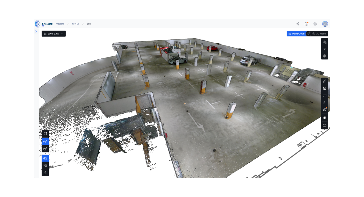
What should teams consider when scanning active construction sites?
Mobile scanning performance depends on both the environment and the capture procedure.
SLAM-based systems estimate their position as they move through a space. Surrounding geometry, visual features and the operator's trajectory can influence the resulting data.
A building interior with recognisable structural features may provide a different capture environment from a long, repetitive corridor or an open area with limited geometric variation.
Active construction sites introduce further considerations, including moving workers and equipment, reflective surfaces and installations that obstruct the scanner's view.
In a congested services area, for example, a single walkthrough may not capture every relevant surface. Operators need to consider visibility, access and whether additional viewpoints are required.
Real-time preview can help identify gaps while on site, but coverage alone does not establish that the data meets every measurement requirement.
At Synergy, we recommend assessing mobile scanning technology against representative site conditions and actual project deliverables. A practical demonstration can help teams understand how the equipment performs, where its limitations become relevant and what capture procedures are appropriate.
A more flexible approach to construction scanning
For construction businesses already using terrestrial laser scanning, mobile capture offers an opportunity to approach supplementary documentation and coordination tasks differently.
A detailed terrestrial survey can establish the geometric baseline for a project, while mobile scanning provides additional spatial records as work progresses. Each method contributes according to the information required.
The important question is not whether mobile scanning can replace terrestrial scanning, but where it can make an existing reality capture workflow more useful.
Explore mobile reality capture with Synergy Group
As FARO's Master Distributor across Australia, New Zealand and the Pacific, Synergy Group supports surveying, engineering and construction businesses with reality capture technologies, practical demonstrations, training and ongoing technical support.
Already using FARO Focus? Explore where Rovi i.1 could complement your construction capture workflow. Talk to Synergy about a demonstration relevant to your site conditions and documentation requirements.

 3 minute read