
Rethink how
you capture it.
Whether you're documenting sites manually, outsourcing scanning or working in challenging environments, there may be another way to approach the job.
Explore different 3D reality capture approaches, see how they work and find out what might suit your project.

RIEGL VZ-600i
- Mobile + Terrestrial scanning in one system
- Integrated GNSS
- Up to 60 scan positions per hour
- High-volume data capture with minimal setup time
Key Applications: Surveying & Mapping, BIM, Construction, Public Safety & Forensics, Forestry & Agriculture

FARO 6DoF Tracker
- Accurate alignment, inspection, and assembly workflows
- Built for large-scale, high-tolerance environments
- Supports real-time measurement and alignment
Key Applications: Manufacturing, Industrial Alignment, Quality Control & Inspection, and Product Design

FARO Portable CMM Arm
- Probe and scan in one device
- Portable across locations with minimal setup
- Full accessories included - ready to use
Key Applications: Quality Control & Inspection, Fabrication & Assembly, Reverse Engineering, and Prototyping
RIEGL VZ-600i
- Mobile + Terrestrial scanning in one system
- Integrated GNSS
- Up to 60 scan positions per hour
- High-volume data capture with minimal setup time
Key Applications: Surveying & Mapping, BIM, Construction, Public Safety & Forensics, Forestry & Agriculture
FARO 6DoF Tracker
- Accurate alignment, inspection, and assembly workflows
- Built for large-scale, high-tolerance environments
- Supports real-time measurement and alignment
Key Applications: Manufacturing, Industrial Alignment, Quality Control & Inspection, and Product Design
FARO Portable CMM Arm
- Probe and scan in one device
- Portable across locations with minimal setup
- Full accessories included - ready to use
Key Applications: Quality Control & Inspection, Fabrication & Assembly, Reverse Engineering, and Prototyping

Ubaldio Donatini
AU Senior Account Executive
Synergy Group
Synergy Group

Patrick O'Connor
VP ANZ Sales Management
Synergy Group
Synergy Group
With over 35 years in the geospatial industry, Patrick brings a rare blend of deep technical expertise and seasoned sales experience. From mastering traditional surveying in the analogue era to championing today’s cutting-edge digital solutions, he offers a unique perspective on the evolution and future of measurement, positioning, and geospatial innovation.

Mark Lane
ANZ Account Manager
FARO Technologies
FARO Technologies

Peter Mandak
Senior Field Applications Engineer
FARO Technologies
FARO Technologies
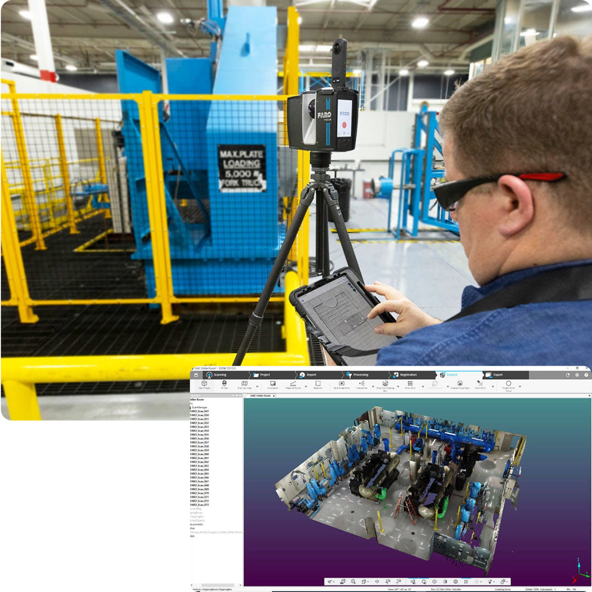
Documenting Sites Manually?
See where reality capture could save time and effort.
Tape measures, laser distance meters, photos and sketches work well for simple jobs. But documenting an entire building, a busy plant or hundreds of details across a site is another matter.
Rather than relying on individual measurements, notes and photos alone, reality capture records visible areas in 3D. Teams can return to that digital record to check dimensions, review existing conditions or plan modifications.
Worth considering if: You're spending hours measuring and documenting sites, working around complex equipment, or making repeat visits to check missing details. For a few simple measurements, conventional methods may still be faster.
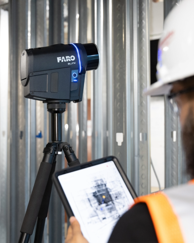
Outsourcing your site capture?
See when bringing capture in-house makes sense.
Outsourcing scanning can work well for occasional projects. But when the work becomes more frequent, the waiting adds up. Booking contractors, arranging site access and getting the data back can all take time.
Having your own reality capture equipment means you can scan sites when needed, capture changes as work progresses and revisit areas without booking another contractor.
Worth considering if: You're regularly outsourcing site capture, waiting on scan results before work can move forward, or paying again as projects change. Bringing capture in-house also means investing in equipment, software, training and people to operate it, so there needs to be enough work to justify it.
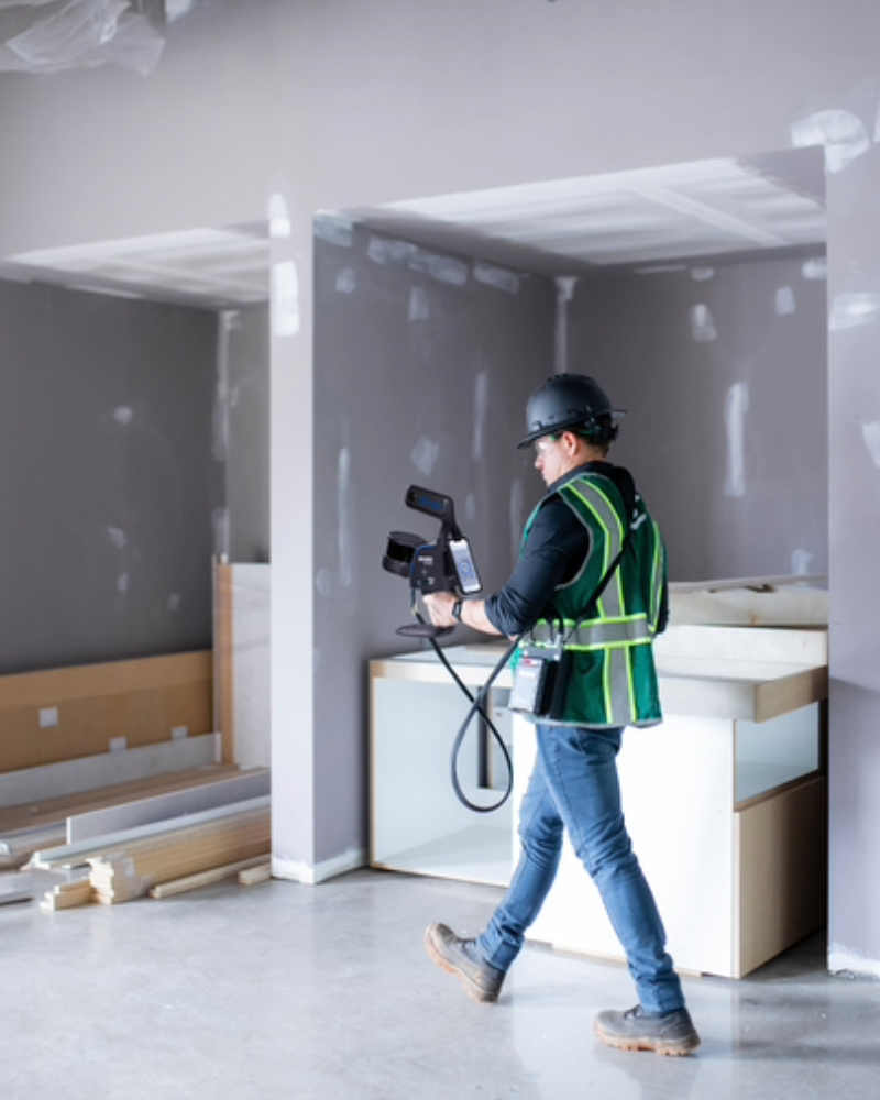
Got a site that's hard to capture?
Explore different ways to capture challenging environments.
Busy industrial plants. Occupied buildings. Tight spaces. Large infrastructure sites.
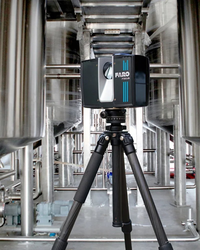
Not every site can be captured the same way. Tripod scanners, handheld and mobile systems each suit different jobs.
Depending on the site, mobile scanning may provide faster coverage, while terrestrial scanning can offer the detail and accuracy needed for more demanding measurements.
Worth considering if: You're working with large, congested or difficult-to-access sites, particularly when time on site is limited. The right approach depends on the accuracy and level of detail you need, not just capture speed.
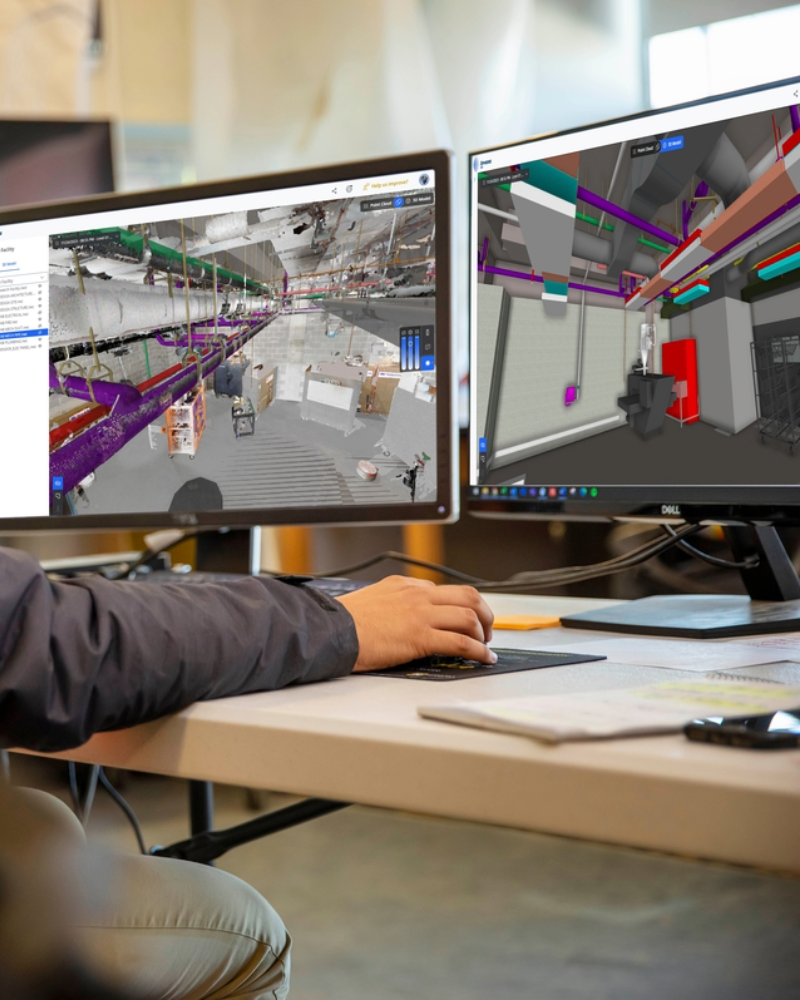
Piecing together the capture workflow?
See how capture, processing and modelling can work together.
Collecting the data is one thing. Turning it into something a surveyor, designer, engineer or project team can use is another.
Depending on the project, scan data may need to be registered, cleaned, checked and prepared for use in other software. Producing drawings, 3D models or as-built records can involve further processing and modelling.
Handling large files, moving data between programs and preparing deliverables can quickly eat into the time saved on site.
The right combination of capture equipment and software can make that workflow more manageable.
Worth considering if: You're spending hours processing scans, struggling to get the output your project needs, or unsure which software will work with your capture equipment. Start with the result you need, whether that's an as-built drawing, 3D model or site record, and we'll work back from there.